
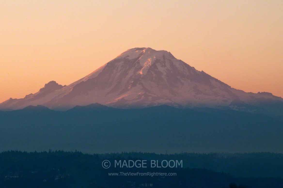

Mount Rainier dominates most of Western Washington’s eastern skyline. A stately, conical shaped volcano, Mount Rainier’s elevation is 14,417 feet and is fifty-four miles southeast of Seattle, on exceptionally clear days it can be seen from Vancouver, British Columbia and Portland, Oregon. The small peak to the left is Little Tahoma Peak with an elevation of 11,138 feet. Mount Rainier is taller than K2 and is a popular destination for mountain climbers from around the world. With twenty-six permanent glaciers, it is the mostly heavily glaciated peak in the lower forty-eight states. Because of its heavy glaciation, Mount Rainier is considered to be a danger (one of the sixteen most dangerous worldwide) if it erupts causing lahars to flow into heavily populated valleys below.
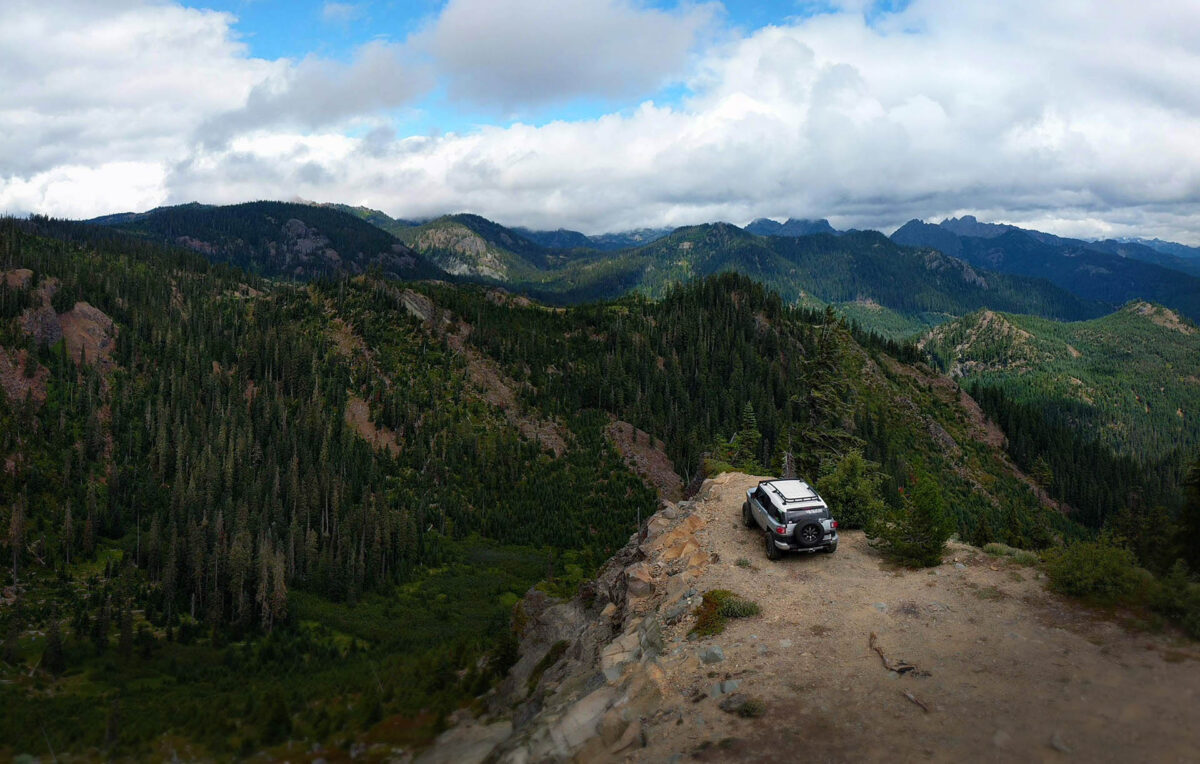
As a kid growing up on the east hill between Auburn and Kent, I saw this view almost daily and still do as I work driving around the cities of Burien, SeaTac, Des Moines and Tukwila. It was somewhat a joke that whenever we would have family or friends visit from out of town, that it would be cloudy and the mountain often would not be seen for days, causing visitors to doubt its existence.
Sharing with ‘Your Sunday Best #38,’ ‘Simple Things Sunday #101,’
(Please consider subscribing to posts from ‘The View From Right Here’ via RSS, via eMail).
just magnificent.
Hi dear :) thank you for commenting Nancy’s post on my blog ‘wonderland’. I’m your new follower on FB :) awesome photograph! xxo
beautiful view. (:
Such a lovely capture!
I enjoyed seeing the mountains by Vancouver, BC last week but was happy to get home to the flat prairies!
xo Catherine
Spectacular.
I visited British Columbia last year and it is such a wonderful area. Everything is green there! Great photo of this majestic mountain. <3
I see you solved the Inlinkz mystery. I’m about to switch to Mr. Linky. Too many probs with Inlinkz.
Anyhoodles — gorgeous image of your mountain, Madge. *sigh*
beautiful! love the layers of colors!
What a beautiful view, love the lighting! :)
That is stunning! Until I can seen something like this in person, I will enjoy the view through your photos.
Beautiful. I flew into Seattle recently and got to see a little glimpse of it from the air.
This is breath taking! I can’t imagine having this view to see all the time!